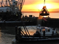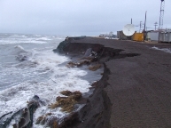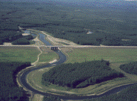

Civil works projects in Alaska fall into the following business categories: navigation, flood risk management, environmental stewardship, recreation and hydropower. When construction of one of these congressionally-authorized projects is completed by the Corps of Engineers, it enters the operations and maintenance phase unless the authorization, partnership agreements or both require them to be turned over to the state, city, borough or tribal village entities for operations and maintenance. Projects maintained by local, non-federal partners in the Alaska District are generally the small flood protection, erosion control and hydropower projects. The flood protection and erosion projects are inspected by Corps personnel on a recurring frequency to ensure adequate maintenance is being performed by the nonfederal project partner. Hydropower projects are the sole responsibility of Alaska and are not inspected by the Corps of Engineers. The information below is provided in the Rivers and Harbors link or the Erosion and Flood Mitigation link in the right sidebar for each respective project.
 The Project Overview, Maps and Photos section includes the Project and Index (P&I) book, separated by location, where surveys, inspections and maintenance work is documented. Generally, the complete P&I book is published every even-numbered year with odd-year updates of just projects that had work performed in the previous year.
The Hydrographic Survey section includes condition surveys, which are performed to monitor maintenance needs in navigation channels and harbors. This section will display the last three to five hydrographic condition surveys, including any pre- and post-maintenance dredging surveys that may have occurred within the last five years.
The Supplemental Data section may contain a variety of documents, ranging from technical reports to PowerPoint presentations that have been requested and released to the public for various purposes. Not all projects will contain information in this section.
All documents provided require Adobe Acrobat Reader for viewing. Additional data, such as hydrographic XYZ point files, are available by contacting our office. We are continually trying to update and improve our publications, and any comments on the integrity, correctness or the clarity of the data presented will be welcomed.
Please read this disclaimer before using the data provided in the documents.