Public Notices

 
Redirecting...


The Regulatory Request System (RRS).
Stay tuned for updates!

Contact Us

Phone: (907) 753-2712

Regulatory General Email

Application Email

Customer Survey

Report a Violation

If there is a problem with the website (i.e., link doesn't work) please contact us

Permit Application Public Notices

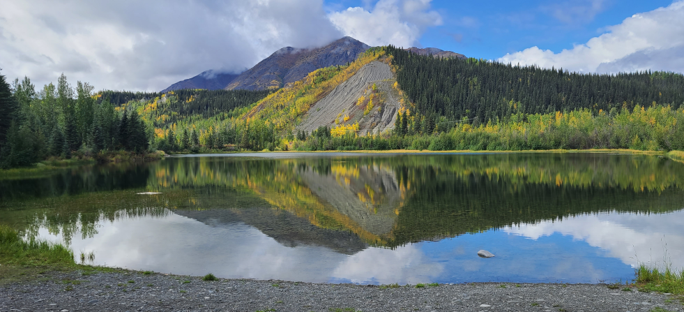
Photo by Rebecca Manbeck

Public involvement is a key element of the Corps’ permit review process. During an application review, the USACE, Regulatory Division considers the views of other federal, state and local agencies, Native American tribes, interest groups, and the general public. The results of this careful public interest review are fair and equitable decisions that allow reasonable use of private property, infrastructure development, and growth of the economy, while offsetting the authorized impacts to the waters of the United States. This is accomplished through the posting of a Public Notice on the USACE, Regulatory Division's website and soliciting comments.

The USACE, Regulatory Division publishes monthly a list of individual permits issued, denied, or pending during the previous month. The list will identify each action by public notice number, name of applicant, and brief description of activity involved. It will also note the relevant environmental documents and the Statements of Findings (SOF) or Records of Decision (ROD) that are available upon written request through the FOIA process and, where applicable, upon the payment of administrative fees.

Special Public Notices

These are public notices that involve the Regulatory program but which are generally not limited to one particular project. These would include public notices for the establishment or modification of Restricted Areas/Danger Zones, issuance/re-issuance of General Permits (Regional General Permits or Nationwide Permits), changes to guidance and policies, etc.

Go to Special Public Notices

Search for a Public Notice

Search by POA number or by keyword, such as a location.

Public Notices

  • SPECIAL PUBLIC NOTICE - WOTUS STEP 2

    Expiration date: 4/15/2019

    On February 14, 2019, the U.S. Environmental Protection Agency (EPA) and the Department of the Army (Army) published for public comment a proposed rule revising the definition of “waters of the United States,” which would establish the scope of federal regulatory authority under the Clean Water Act (CWA). The proposed rule is intended to satisfy the requirements of Executive Order (EO) 13778 that directed the EPA and the Army to review and rescind or replace the 2015 Clean Water Rule (80 FR 37053) and consider interpreting the scope of “waters of the United States” consistent with the Justice Scalia opinion (plurality standard) from Rapanos v. United States (2006). The EO instructed that any new proposed rule shall ensure that the Nation’s navigable waters are kept free from pollution, while at the same time promoting economic growth, minimizing regulatory uncertainty, and showing due regard for the roles of the Congress and the States under the Constitution.
  • POA-2019-00036

    Expiration date: 3/15/2019

    Lower Kuskokwim School District, 1004 Ron Edwards Memorial Drive, Bethel, Alaska 99558, states the purpose is to construct a K-12 school in Atmautluak. The work being proposed involves the discharge of 1,500 cubic yards of clean fill over 1.63 acres to provide a pad for the construction of a school facility and to increase thermal stability. All work would be performed in accordance with the enclosed plan (sheets 1-6), dated January 8, 2018. The project site is located within Section 20, T. 9 N., R. 73 W., Seward Meridian; USGS Quad Map Baird Inlet D-1; Latitude 60.8611º N., Longitude 162.2804º W.; in Atmautluak, Alaska. Please contact Nicholas Lucore at (907) 753-5783, toll free from within Alaska at (800) 478-2712, by fax at (907) 753-5567, or by email at Nicholas.Lucore@usace.army.mil if further information is desired concerning this notice.

  • POA-1922-00022-M26

    Expiration date: 3/15/2019

    Mr. Karl Amylon, with the City of Ketchikan, states that the project purpose is to remove up to 15 vertical feet of rock (7,500 cubic yards) from a 0.76-acre of Tongass Narrows, bringing the ocean bottom depth to -42 feet Mean Lower Low Water. The project site is located within Section 30, T. 75 S., R. 91 E., Copper River Meridian; Latitude 55.3392º N., Longitude 131.6494º W.; in Ketchikan, Alaska. Please contact Ms. Roberta Budnik at (907) 753-2785, toll free from within Alaska at (800) 478-2712, by fax at (907) 753-5567, or by email at roberta.k.budnik@usace.army.mil if further information is desired concerning this notice.

  • POA-2019-00054

    Expiration date: 2/27/2019

    Kathy and Rand Thatcher, Juneau, AK. State that the project purpose is The applicant’s stated purpose is to subdivide a seven acre parcel into nine lots for residential (single-family) homes. Work being proposed includes, to discharge approximately 689.5 cubic yards (CY) of crushed aggregate, 2,068.5 CY of shot rock and in-situ soils, 2,151.5 CY of leach rock, and 307.5 CY of topsoil into approximately 1.24-acres of waters of the U.S. consisting of forested wetlands to construct roads, driveways, pads, and on-site waste-water treatment facilities for eight single-family homes. The project site is located within Section 19, T. 40 S., R. 65 E., Copper River Meridian; USGS Quad Map Juneau B-3; Latitude 58.3879º N., Longitude 134.7528º W.; Thatcher Subdivision, Lots 1A, 1B, 1C, 1D, 2, 3, 4, and 5; Ocean View Drive, at Point Lena, in Juneau, Alaska. Please contact Randal Vigil at (907) 790-4491, or by email at: Randal.P.Vigil@usace.army.mil if further information is desired concerning this notice.

  • POA-2004-01238

    Expiration date: 3/8/2019

    Elton McGahan, Post Office Box 8013, Nikiski, Alaska 99635, states that the purpose is to is to conduct placer mining activities for the recovery of gold. Work being proposed involves using heavy equipment to strip the vegetation and upper layers of the soil in 150-foot by 75-foot blocks (cuts) in rows parallel to Kal Creek. The stripped vegetation and topsoil would be stockpiled along the edges of the cuts. One to two feet of the overburden material in the now exposed cuts would then be ripped and excavated every couple of days as it thaws, until the pay layer is reached. This excavated overburden material would be stockpiled along the edge of the cuts separately from the vegetation and topsoil. Once the exposed pay layer thaws, it would be excavated and hauled to the wash plant for processing. Tailings from the processing would then be hauled back and discharged into the cuts. Stockpiled overburden would be spread over the tailings, and the cut contoured closely to mimic pre-mine conditions. Lastly, the topsoil and vegetation are spread over the contoured ground to facilitate recovery of vegetation. The project site is located within Sections 1 and 12, T. 27 N., R. 21 E. and Sections 6-7, T. 27 N., R. 22 E., Copper River Meridian; USGS Quad Map Eagle A-1; Latitude 64.141876º N., Longitude -141.187177º W.; approximately 23 miles east of Chicken, Alaska. Please contact Jason Brewer at (907) 753-2823, toll free from within Alaska at (800) 478-2712, by fax at (907) 753-5567, or by email at Jason.D.Brewer@usace.army.mil if further information is desired concerning this notice.