Public Notices

 
Redirecting...


The Regulatory Request System (RRS).
Stay tuned for updates!

Contact Us

Phone: (907) 753-2712

Regulatory General Email

Application Email

Customer Survey

Report a Violation

If there is a problem with the website (i.e., link doesn't work) please contact us

Permit Application Public Notices

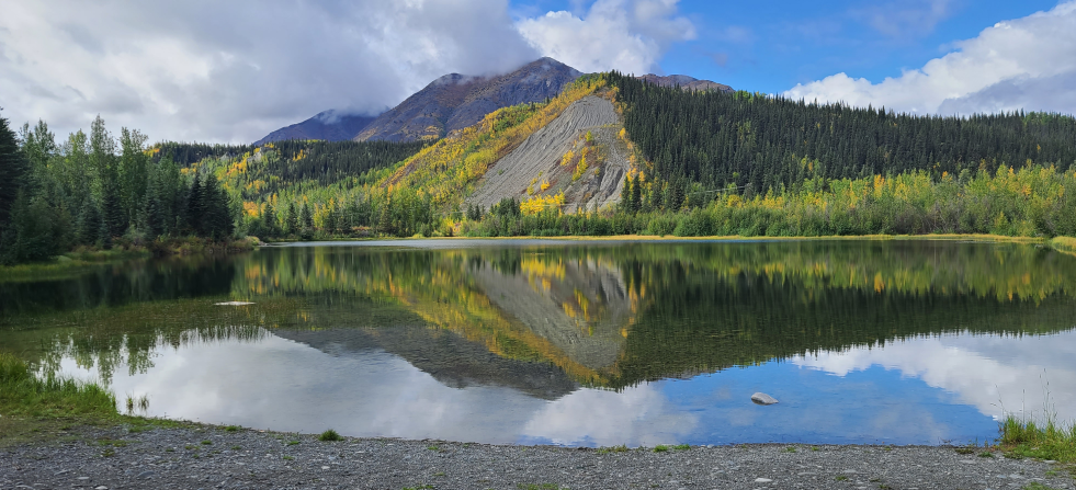
Photo by Rebecca Manbeck

Public involvement is a key element of the Corps’ permit review process. During an application review, the USACE, Regulatory Division considers the views of other federal, state and local agencies, Native American tribes, interest groups, and the general public. The results of this careful public interest review are fair and equitable decisions that allow reasonable use of private property, infrastructure development, and growth of the economy, while offsetting the authorized impacts to the waters of the United States. This is accomplished through the posting of a Public Notice on the USACE, Regulatory Division's website and soliciting comments.

The USACE, Regulatory Division publishes monthly a list of individual permits issued, denied, or pending during the previous month. The list will identify each action by public notice number, name of applicant, and brief description of activity involved. It will also note the relevant environmental documents and the Statements of Findings (SOF) or Records of Decision (ROD) that are available upon written request through the FOIA process and, where applicable, upon the payment of administrative fees.

Special Public Notices

These are public notices that involve the Regulatory program but which are generally not limited to one particular project. These would include public notices for the establishment or modification of Restricted Areas/Danger Zones, issuance/re-issuance of General Permits (Regional General Permits or Nationwide Permits), changes to guidance and policies, etc.

Go to Special Public Notices

Search for a Public Notice

Search by POA number or by keyword, such as a location.

Public Notices

  • POA-2019-00122

    Expiration date: 5/24/2019

    Hilcorp Alaska, LLC., Anna Dugan, 3800 Centerpoint Suite 1400, Anchorage AK 99503, states that the purpose is to meet the gravel needs for planned Milne Point Unit (MPU) Development projects, including R Pad Development and additional pad expansions for drilling new wells to increase production within the MPU. The work being proposed includes expanding the existing material site, Mine Site E, in Milne Point Unit by adding an additional 27-acre cell, named Cell 6, and to rehabilitate the project site after completion of material extraction. The area to be mined is 900 feet long and 850 feet wide, totaling 16 acres. The additional 11 acres of impacts would include overburden storage and construction of a thermal barrier and an access road. All work would be performed in accordance with the enclosed plan (sheets 1-5), dated 4/11/2019. The project site is located within Section 24, T. 13 N., R. 9 E., Umiat Meridian; USGS Quad Map Beechey Point B-5; Latitude 70.4615 N., Longitude 149.6959º W.; near Deadhorse, Alaska. Please contact Janet Post at (907) 753-2831 toll free from within Alaska at (800) 478-2712, by fax at (907) 753-5567, or by email at janet.l.post@usace.army.mil if further information is desired concerning this notice.

  • POA-2017-00113

    Expiration date: 5/10/2019

    Native Village of Kalskag, Bonnie Persson; Post Office Box 50; Upper Kalskag, Alaska 99607, states that the purpose is to provide vehicular and pedestrian access to the new cemetery location in Upper Kalskag. The work being proposed includes the discharge of 12,900 cubic yards of fill over 2.74 acres of wetlands to create an access road, footpath and parking lot. All work would be performed in accordance with the enclosed plan (sheets 1-9), dated April 10, 2019. The project site is located at Section 22, T. 17 N., R. 61W., Seward Meridian; USGS Quad Map Russian Mission C-4; Latitude 61.544137° N., Longitude 160.323350° W.; in Upper Kalskag, Alaska. Please contact Nicholas Lucore at (907) 753-5783, toll free from within Alaska at (800) 478-2712, by fax at (907) 753-5567, or by email at Nicholas.Lucore@usace.army.mil if further information is desired concerning this notice.

  • POA-2015-00452

    Expiration date: 5/5/2019

    Mr. Sean McKnight, Kawerak, Inc. – Transportation Director, PO Box 948, Nome, Alaska 99762, (907) 443-4395, states that the purpose is to widen the roads and ensure roads are platted within the established right-of-ways (ROW). The project will also raise the roadway embankments to provide flood protection for the school, old water tank, city office, washateria, general store, and fuel tank farm, which are frequently threatened by flooding from strong fall storm surges and wind driven tides. Additionally, the project will improve access to and function of the community boat launch and barge landing site. The work being proposed includes the placement of up to 6,840 cubic yards cubic yards of material into 1.88 acres of waters of the United States (U.S.), including wetlands (WOTUS), for the rehabilitation of twelve existing roads and the construction of a boat ramp. The roads improvements would place 6,620 cubic yards within 1.83 acres of wetlands for portions of the roads. The construction of the 175 foot long by 28 foot wide boat ramp would place 200 cubic yards of pre-cast concrete planks, treated wooden sills, geotextile fabric, ditch lining rock, and riprap material into 0.05 acre area of waters of the U.S., below the mean high water (MHW) mark (this portion of the ramp, below the MHW, is 83 feet long by 28 feet wide). The project site is located within Sections 2, 10, 11, & 15, T. 11 S., R. 22 W., and Section 35, T. 10 S., R. 22 W., Kateel Meridian; USGS Quad Map Solomon C-3; Centroid point at Latitude 64.5436º N., Longitude 163.0273º W.; in Golovin, Alaska. Please contact Mary Romero at (907) 753-2773, toll free from within Alaska at (800) 478-2712, by fax at (907) 753-5567, or by email at mary.r.romero@usace.army.mil if further information is desired concerning this notice.
  • POA-2018-00204

    Expiration date: 5/3/2019

    Traditional Council of Togiak, Elizibeth Wassillie, Post Office Box 310, Togiak, Alaska 99678 states that the purpose is to construct an additional road to the Togiak School. The work being proposed includes the discharge of 28,820 cubic yards of fill over 2.81 acres to construct a 3,216 foot long road with a 38 foot wide footprint. All work would be performed in accordance with the enclosed plan (sheets 1-3), dated April 2, 2019. The project site is located within Section 10 & 15, T. 13 S., R. 67 W., Seward Meridian; USGS Quad Map Goodnews Bay A-4; Latitude 59.055475º N., Longitude 160.419043º W.; in Togiak, Alaska. The project is located within the Togiak National Wildlife Refuge. Please contact Nicholas Lucore at (907) 753-5783, toll free from within Alaska at (800) 478-2712, by fax at (907) 753-5567, or by email at Nicholas.Lucore@usace.army.mil if further information is desired concerning this notice.

  • POA-2019-00110

    Expiration date: 5/1/2019

    North Slope Borough, Mr. Ian Stroud, PO Box 1050, Utqiagvik, Alaska 99723, stated purpose was the protection of life and property during the September 29th through 30th, 2017 storm. The proposed work for this project, an after the fact permit, includes authorizing the dredging/excavation of up to 13,200 cubic yards of material from 4.09 acres of intertidal waters of the United States (U.S.), which eroded from Utqiaġvik’s coastal protection berm during a storm event September 29 through 30, 2017. Up to 3,000 cubic yards of the dredged material was placed in up to 0.37 acre of intertidal waters of the U.S. below the high tide line (HTL), the remaining 10,200 cubic yards of material as well as an additional 12,000 cubic yards of locally sourced material was placed above the HTL and on top of Cakeeater Road, this fill placed above the HTL would not be under the Corps of Engineers authority as it is located in uplands. All work was performed in accordance with the enclosed drawings (sheets 1-4), dated March 1, 2019. The project site is the Utqiagvik Coastal Protective Berm that stretches from Latitude 71.2902º N., Longitude 156.79714º W.; to Latitude 71.324058º N., Longitude 156.693102º W.; within Section 7, T. 23 N, R. 17 W., Sections 12-15, 21, 22, 28, 29, 31, & 32 , T. 23 N., R. 18 W., and Section 6, T. 22 N., R. 18 W., Umiat Meridian, USGS Quad Map Barrow B-4, in Utqiaġvik, Alaska. Please contact Mary Romero at (907) 753-2773, toll free from within Alaska at (800) 478-2712, by fax at (907) 753-5567, or by email at mary.r.romero@usace.army.mil if further information is desired concerning this notice.